


1 Views · 04/26/26


2 Views · 04/26/26


1 Views · 04/26/26

Forbidden History: These Maps Are Changing Everything
0
0
1 Views·
04/26/26

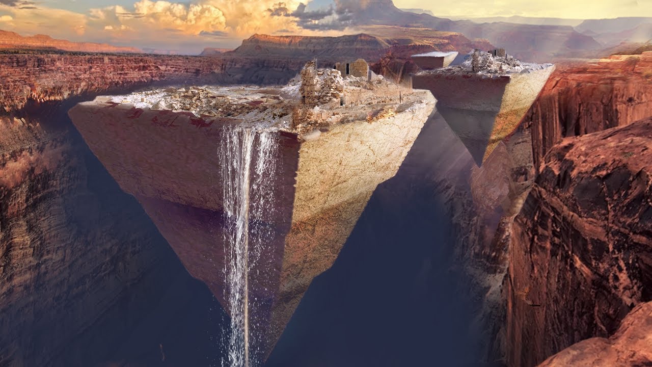
For centuries, scholars have overlooked or dismissed enigmatic ancient maps depicting Northern Africa with astonishing detail—far beyond what should have been possible in their time. Chief among these is the legendary Piri Reis Map of 1513, which portrays the North African coastline, rivers, and interior features with precision that rivals modern satellite imagery, including hints of a once-lush Sahara teeming with life.
Other Channels: @PoundersReacts @PoundersQuestClips
Join Jon Pounders on Social Media!
Facebook: https://www.facebook.com/pounderslive
Instagram: https://www.instagram.com/pounderslive
https://www.nanoxtreme.com
Use Coupon Code: Pounders for $8 off! or Use Code: PQuest to get free shipping!
Show more
0 Comments
sort Sort By
Facebook Comments
1 Views · 04/26/26
2 Views · 04/26/26
1 Views · 04/26/26
